
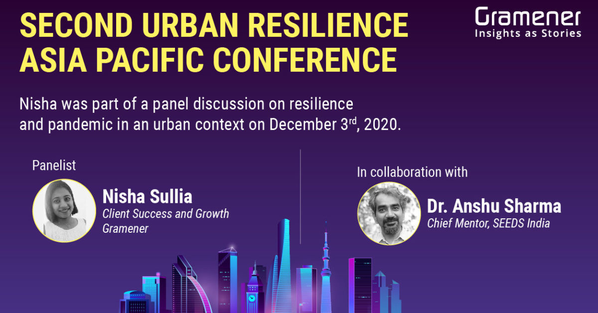
Disasters like floods and heatwaves are having an increasing economic impact on cities, where they hit those in the bottom economic rung the hardest.
In such a scenario, how do we use data, AI, and spatial analytics solutions to become more resilient and prepare for the future? This was the crux of a panel discussion at the second Urban Resilience Asia Pacific conference held virtually on December 3.
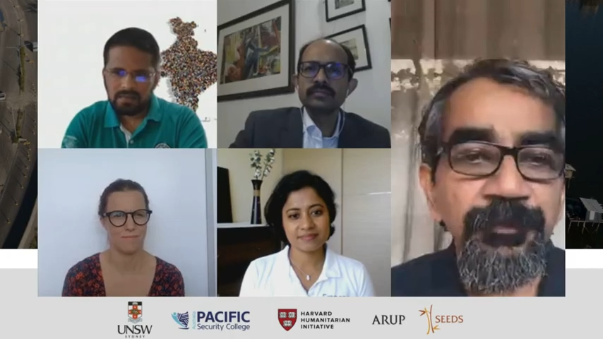
The panel was chaired by Dr. Anshu Sharma, co-founder at SEEDS, a non-profit that specializes in disaster readiness, response, and rehabilitation. Nisha Sullia, who heads Client Success & Growth at Gramener for the APAC region, was part of the panel. Here are some edited excerpts from the conversation.
Table of Contents

How Can Technology Make an Impact?
Dr. Anshu Sharma, co-founder, SEEDS: The pandemic hit us in our faces and told us that despite all our efforts and little victories we are completely unprepared for certain things. There are systemic issues that are difficult to address through small pilots and small initiatives in isolation. We need to be able to scale what we see as solutions so that they can be globally applicable.
People working in the informal sector are the ones who really fell through the cracks during the lockdown. Something relatively new is what exists at the intersection of formal and informal that we don’t really understand. One of the things that is emerging is that the poor and the micro-enterprises that operate at this interface of formal and informal — they contribute to roughly 40% of the economy in many countries but we have no specific data on them.
Though technology is available and probably valuable, are we able to use it well enough? What is it really that we’re trying to change? How can we bring about an impact?
Data & AI for Predictive Analysis Before Disasters Strike
Nisha Sullia, Client Success & Growth Lead, Gramener: One of the ways technology can help is in reskilling and upskilling the vulnerable population for whom the question of where the next meal comes from is an important one. This could be a simple upgrade or fundamental shift.
A significant business of Singapore is dependent on tourism. Those selling souvenirs or local delicacies, for instance, have seen no business since February. There have been programs to help them reskill. Many low-skilled businesses were also enabled digitally. For example, a couple in their mid-70s running a food center can be taught to make digital transactions as cash transactions are not preferred now.
Taking a step back to understand the source, here are a few instances of how we can use data before disasters hit. Floods are hitting cities more often.
Australia and San Francisco recently had a spate of forest fires. In these cases, it’s mostly post-facto involvement of technology for recovery and rehabilitation.
How do we prevent this and evaluate what are the drivers behind these? This is where we’ve seen increased adoption of AI and technology such as satellite imagery analysis and spatial analysis.
For instance, we are working with the City of Calgary, Canada to understand and mitigate Urban Heat Islands Effects (UHIs) for a city. With the help of spatial data visualizations, we are identifying the area that is hotter compared to the adjoining areas in each locality? If there has to be a new building coming up in that area, what can be modified to bring down the average heat index?
Similarly, we have been working on disaster recovery management with SEEDS.
- Can we predict the impact of floods on a day-to-day level?
- What is the risk score that we can give to the building in the event of a flood?
- Should there be an evacuation plan for the affected? If yes, what?
- What should be an alternate approach to reduce the consequences of this disaster?

That’s where AI has been helping in creating a long-term impact.
While it helps us in scaling a lot of the efforts, there are some unearthed aspects that help us in understanding how well we can utilize technology.
Along with it comes the other side of the problem, that is, is the data being ethically used? It has to be the right balance. All the parties should invest equally in making it a successful program.
Right from individuals to organizations to social bodies, everyone has to come together to talk about a sustainable way of doing things. This might require a reimagination of doing things.
How do we translate this into action with each one’s expertise and build that roadmap is what I’m looking at. We are largely leveraging the Geospatial AI technology to identify climate change factors from large data sets. Then, applying spatial data science algorithms to create advanced visualizations.

Technology for rapid feedback loops, evaluation
Eva Neitzert. Director, Just Economics: What’s challenging here, whether we’re talking about disasters or the pandemic, is that we are dealing with really volatile and uncertain situations.
Due to the uncertain and volatile environment, we cannot be certain that our intervention is going to have the intended impact. So it’s more important to have rapid feedback loops in place to measure and ensure that we are making an impact.
We need to continue monitoring to cost correct and adapt strategically to respond. And when you approach social impact measurement in that kind of way, where monitoring is not a one-off exercise that you do but a process that is woven into your intervention, then you’re in a position to ensure that you maximize the impact.
Technology has a role in enabling us to have those feedback loops. We’re now in a place where we can have technological indicators that enable us to have those feedback loops in a way we couldn’t a decade ago. And we have been working with SEEDS and Microsoft to develop those kinds of processes.
Turning to AI & Tech to Fill the Gaps
Kamal Kishore, National Disaster Management Authority: In March-April we used a classic risk assessment tool to look at where Covid infections are, where people are under surveillance, what is the doubling rate, and so on and tried to project the risk. But it didn’t work well for three reasons.
First, our information was not at a granular level. We had only district-level data, and many districts of India are bigger than even entire countries of the world. So if you had cases in one corner of the district, the entire district gets painted red.
Second, it wasn’t as dynamic enough. The risk assessment that we usually do is for disasters like landslides and floods, where you have weeks and sometimes months to assess risk. Here we had to update it every day.
Third, we were not able to bring in laterally what the local drivers of risk were. For instance, how do you bring into your model a risk assessment of an area where mass gatherings tend to happen (Places of worship or eateries, for instance).
These are the reasons why we bring in Artificial Intelligence and new technologies. If we can use technology to make our risk assessment tools more informed, dynamic, and granular, that would be something.
Collaborate, Upgrade, Replicate
Kishore Kumar Thangavelu, Microsoft: We can use technologies like AI and cloud to rebuild not only from the current crisis but also to ensure that they remain stable and build on a long term. Even predicting upcoming disasters or making sure that communities are resilient from disasters that are yet to come.
There are four key things at play here.
The first is, as Nisha mentioned, collaboration with all stakeholders.
The second is the robustness of the technology you build. Technology keeps changing, and the nature of disasters will too. So we need to constantly upgrade to make sure there are changes in the technology to meet the need.
The third thing is the depth of granularity as mentioned by Kamal. We can’t achieve it in the first go, but we can eventually see to it that each and every person is taken care of. That is what a model can ensure.
The last factor is replication. We can’t be rigid by saying that we have a project and it is rigid and works only in certain scenarios. We need to ensure that it replicates at scale because many a time, 70-80% of the model framework and the work done would remain the same.
So, by replicating projects, we can ensure that most calamities are covered. If we are able to incorporate these four factors into the work we do, we can go a long way.
Contact us for custom built low code spatial analytics solutions for your business challenges and check out ESG and AI solutions built for our clients, including Fortune 500 companies. Book a free demo right now.
Would you like to partner with us to build solutions that change lives?