
Structurally, one could say India is governed at multiple levels:
Indian administration and political boundary shapefiles that are available so far are district boundaries for states (hence country), village boundaries for states, and tehsil (administrative division) boundaries for states. Similarly, we lack map shapefiles at Divisions and Blocks administrative levels. Recently, we organized an open workshop to create division-level maps. We detail our experience here.
Division level maps workshop details
Task
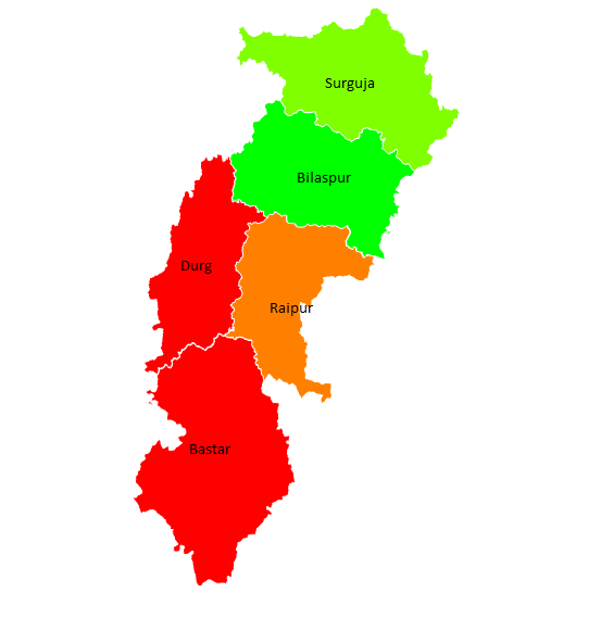
The goal of the workshop was to create division-level map files (TopoJSON) using district-level map files of Indian states.
Format
Divide the participants into groups and let the individuals volunteer to pick the states for which they wanted to create the division level maps.
Pre-workshop preparation
Initially, we kicked-off with the list of states for which division information is readily available on Wiki. This was followed by
How
For ease of the participants
Output
We released the division level maps with the data community (Datameet). You can get the TopoJSON formatted files for 16 states on the
Challenges
We ran into few challenges making qGIS work on Windows machines. qGIS v2.18 downloadable worked fine while few of us ran into getting the v3 work.
It was an engaging and good learning experience for everyone involved. We hope to organize more such events. If you use these maps to create a solution or visualize your interest set of data please let us know!
Note: This post is written and presented by Bhanu Kishore Kamapantula, Senior Data Scientist at Gramener.
Hi
I would like to know the Maps which are available on Gramener for download are open-source maps. which can be reused for publication of article or PPT presentation. Whether this comes unde CC-BY license